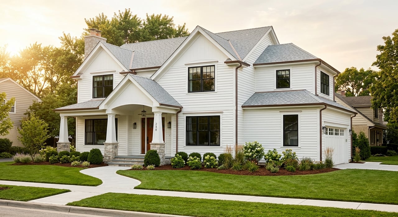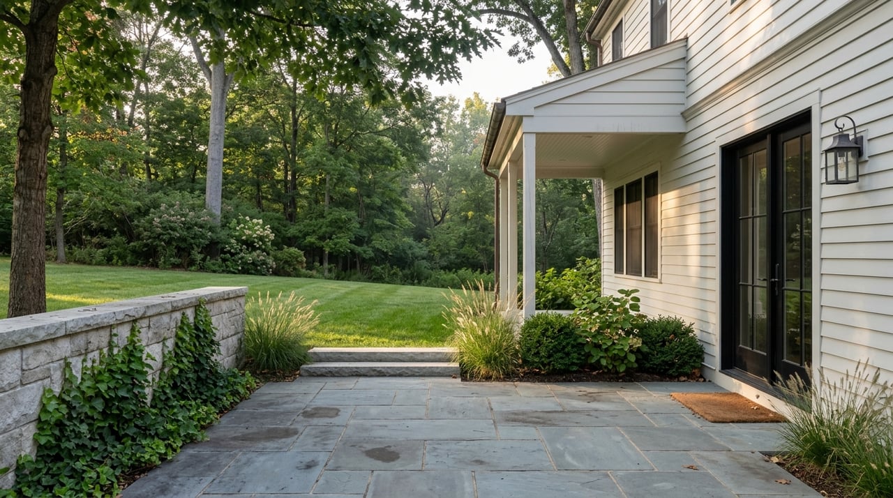

Buying in Albemarle County and not sure if you need a survey? You’re not alone. Surveys can feel technical, yet they protect you from boundary surprises, access issues, and costly setbacks after closing. In this guide, you’ll learn which survey to order, when lenders and title companies ask for one, what local records to check, and how to write a smart survey contingency. Let’s dive in.
What a property survey does
A property survey confirms where your lot begins and ends and how improvements sit on it. It ties measurements to your deed or recorded plat and notes things like easements and visible encroachments. Depending on the type, you may also see septic fields, wells, and setback compliance. A Virginia-licensed professional land surveyor must certify the survey for it to be relied on.
Common survey types here
Boundary survey
- Establishes legal lot lines and corner monuments.
- Useful for lot and acreage purchases, fence placement, and resolving disputes.
- You receive a stamped plat with bearings, distances, and corner stakes.
Location or mortgage survey
- Shows house, garage, driveway, and visible encroachments relative to lot lines.
- Common for resale loans when lenders or title companies want basic confirmation.
- Less detailed than an ALTA survey.
ALTA/NSPS Land Title Survey
- A comprehensive, standardized survey used mainly for commercial or higher-value residential loans.
- Can include detailed easement mapping, access, and Table A items requested by the buyer or lender.
- More expensive and time-consuming than boundary or location surveys.
As-built or improvement survey
- Documents where new construction or additions sit versus the approved site plan.
- Often required for permits and code compliance.
Topographic survey
- Shows elevations, contours, and natural features.
- Helpful for site design, stormwater planning, and drainfield design.
Subdivision or plat survey
- Used to create or combine lots for official recording.
- Relevant for development and parcel adjustments.
When lenders and title companies ask
Title company needs
Title insurers review recorded plats and any existing survey to decide how to insure. If no recent acceptable survey is available, the title policy may include a survey exception that excludes boundary or encroachment issues not shown in public records. A new survey can help remove or narrow that exception.
Lender requirements
Lenders want to confirm the collateral is accurately described and free of undisclosed issues that impair their lien. For many residential resales, a location or existing acceptable survey is enough. For construction loans, raw land, or higher-value loans, lenders may ask for an ALTA/NSPS survey. Requirements vary by program and loan size, so notify your lender and title company early.
Typical Albemarle scenarios
- Resale single-family: A location or boundary survey is often sufficient if available; otherwise expect a survey exception or a request for a new survey.
- Vacant land or acreage: Buyers commonly order a boundary survey and sometimes a topo or septic-site survey; some lenders require them.
- New construction: As-built, topo, and sometimes ALTA-level work support permitting, site planning, and lender needs.
How surveys protect you
Key protections
- Confirm lot lines and acreage that match the deed or plat.
- Identify encroachments like fences, sheds, and driveways.
- Show recorded and visible easements and rights-of-way.
- Map wellheads and septic drainfields where applicable.
- Flag setback and zoning issues that could affect use or improvements.
- Catch title description errors or ambiguities.
- Provide leverage for remedies, price adjustments, or termination if needed.
Albemarle specifics to watch
- Septic and wells: Many properties use private systems. Confirm the location of the well and drainfield.
- Floodplains: Stream corridors and river floodplains exist here. Floodplain overlap can affect insurance and permitting.
- Conservation easements: Some parcels include conservation or agricultural protections that limit use; surveys help confirm location and extent.
- Shared driveways and access: Rural tracts often rely on private rights-of-way. Verify access is recorded and clear.
- Steep slopes and environmental overlays: Overlay districts can limit building areas; combine topo with county mapping to plan.
- Older unrecorded improvements: Additions or sheds may not appear on older plats; a survey can reveal misplacements.
Common problems found
- A fence or shed crosses the lot line by a few feet.
- A driveway sits in a recorded drainage or utility easement.
- A septic field overlaps a neighbor’s parcel or violates a setback.
- The deed description does not match the physical boundary.
- An unrecorded access use that conflicts with expectations.
Where to check local records
County GIS and parcel mapping
Use Albemarle County’s GIS to review parcel lines, zoning layers, floodplain overlays, and known easements. Treat it as a preliminary planning tool. It does not replace a certified survey.
Clerk of the Circuit Court
Recorded plats, deeds, dedications, and easement documents are housed with the Clerk. Your title company will pull relevant items during the title search, and a surveyor will rely on these records.
Planning and Zoning
The Planning Department can confirm setbacks, permitted uses, and overlay restrictions. Setbacks vary by zoning district and lot size.
Health Department records
For properties with wells and septic, check environmental health records through the local health district for prior approvals and permit history.
Ordering, costs, and timing
- Who orders and pays: Buyers typically order and pay for surveys when it is buyer-driven, but this is negotiable in your contract.
- Costs: A boundary or location survey for a typical lot can range from several hundred to a few thousand dollars, based on size, terrain, and research needs. ALTA surveys are generally several thousand dollars, depending on scope.
- Timing: Expect anywhere from a few days to several weeks, depending on surveyor workload, record complexity, and whether title commitment review is required.
Build a smart survey contingency
A clear contingency keeps your risk low and your timeline predictable. Consider including:
- Type: Specify boundary, location/mortgage, or ALTA, and any ALTA Table A items.
- Who orders: State whether you will order or accept a recent seller-provided survey if it meets requirements.
- Deadline: Set a firm window after ratification for completion and review.
- Costs: Define who pays or how costs are split.
- Acceptable results: Define material issues, such as encroachments beyond a set distance, lack of legal access, or easements that materially restrict use.
- Remedies: Allow time for seller cure, negotiation of credits, or buyer termination if uncured.
- Qualifications: Require a Virginia-licensed professional land surveyor and a stamped copy for you and the title company.
- Coordination: State that the survey must satisfy reasonable lender and title company requirements.
Questions to ask a surveyor
- Will you recover and set corners and provide monumentation on the ground?
- Will the survey be based on full record research and fieldwork?
- Can you provide digital files if needed for site planning?
- For ALTA: Will you review the title commitment and include requested Table A items?
- How familiar are you with Albemarle County plats and easement patterns?
If the survey finds a problem
You have options. You can negotiate a price reduction or seller repairs, request an easement or boundary line agreement, or require a corrective instrument. If your contract allows and the issue is material, you can terminate and receive a deposit refund. The title insurer may require a resolution or add an exception, so coordinate early with the title company and lender.
Practical tips to stay on track
- Ask the seller for any existing surveys right after ratification.
- Order your survey early so you have time to negotiate if issues arise.
- Coordinate survey timing with inspections, septic and well checks, and any topo work.
- For rural parcels, verify recorded access and shared driveways.
Ready to talk next steps?
Buying land or a home in Albemarle County is easier when you have a clear plan for surveys and title. If you want help structuring your due diligence and timeline, reach out to the Marjorie Adam Team, REALTORS®. We bring deep local experience across urban neighborhoods, country lots, and everything in between.
FAQs
What survey do I need for a resale home in Albemarle County?
- Many lenders and title companies accept a location or boundary survey for resale purchases, or a recent acceptable survey from a prior transaction.
Do I need a survey for title insurance in Albemarle County?
- If no acceptable survey is provided, the title policy may include a survey exception, so a new survey can help reduce or remove that exception.
How long does a boundary survey take locally?
- Turnaround can be a few days to several weeks, depending on surveyor workload, research complexity, and site conditions.
Who typically pays for a survey in a home purchase?
- Buyers commonly order and pay for the survey when buyer-driven, though payment and scope can be negotiated in the contract.
What is an ALTA/NSPS survey and when is it used?
- It is a comprehensive, standardized survey often required for commercial deals or higher-value residential loans that need detailed certifications.
Can Albemarle County’s GIS replace a certified survey?
- No. GIS is a useful planning tool, but only a Virginia-licensed professional land surveyor can certify boundary lines and encroachments.