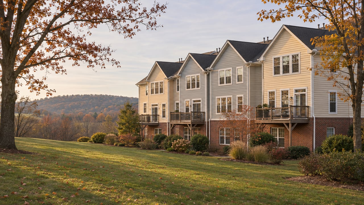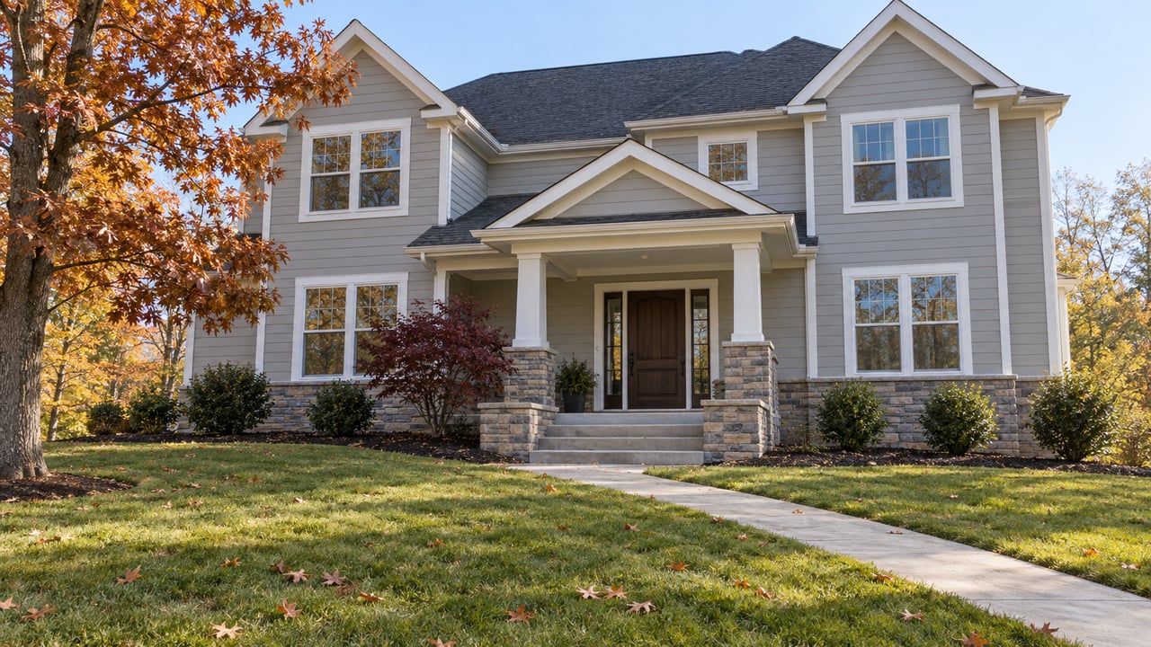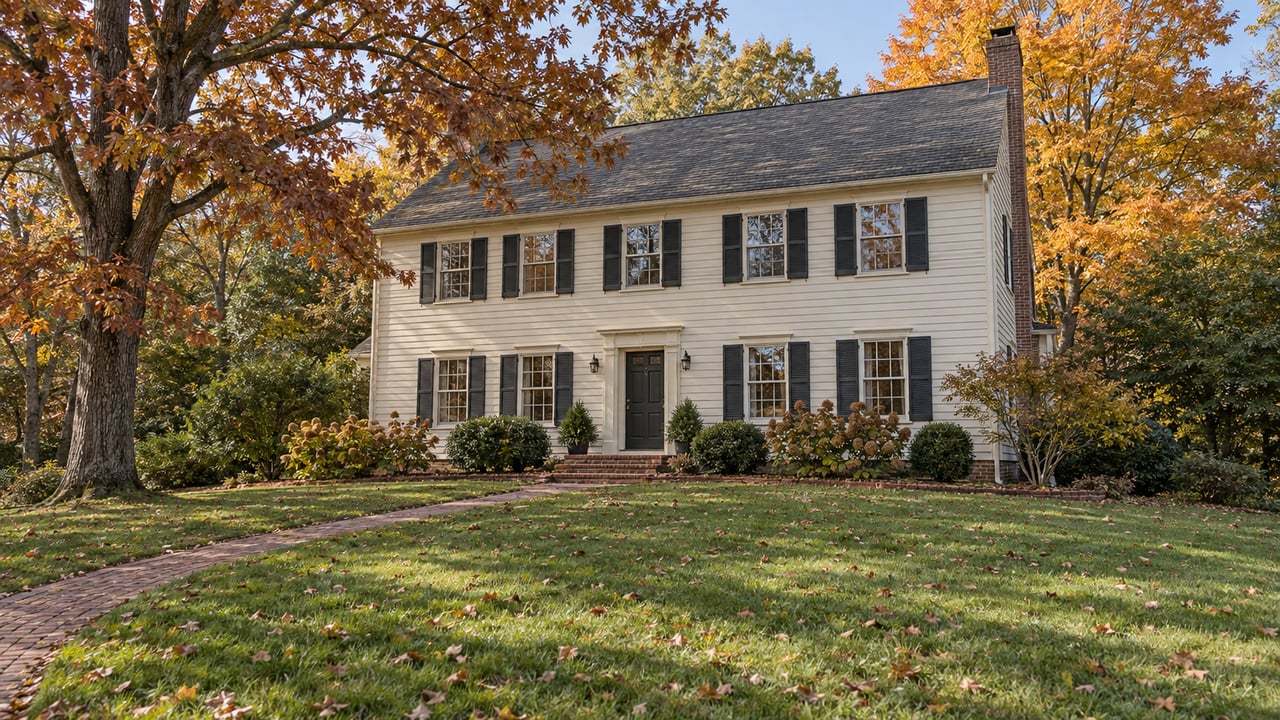
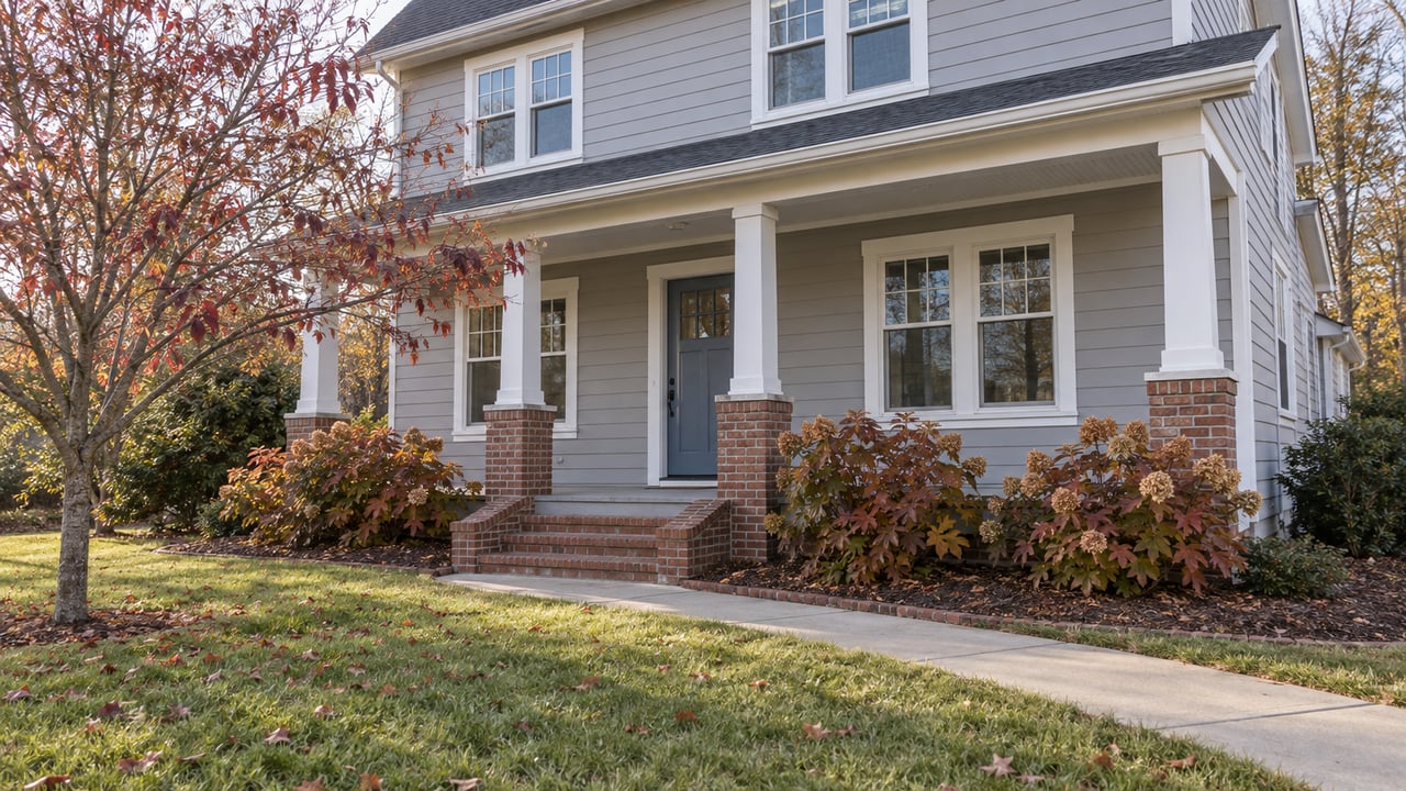
Across the street from 5029 Brook View Road, a gravel path leads into Western Park and over a small bridge. Right after the bridge, a dirt trail breaks off to the left and follows Lickinghole Creek. Volunteers with the Crozet Trails Crew help build and maintain trails like this one.
Albemarle County has now put that creek valley at the center of its plan for the Three Notched Trail, a shared-use path from Charlottesville to the Blue Ridge Tunnel. The county's draft preferred route for the Crozet zone links downtown Crozet, Crozet Park and Lickinghole Basin, "leveraging existing trails and easements already set aside by the County for future trail development." For Old Trail, much of the Crozet section is already on the ground. Building it would mostly mean upgrading paths people walk today. What's still undecided is which pieces get built first, and the county's survey asking that question closes Sunday, November 15.
The county chose the creek over Route 250
Last December, at a meeting at Western Albemarle High School, the planning team showed three options for the Crozet zone. The Crozet Gazette reported the choices. One followed greenways from Lickinghole Basin past Crozet Park into downtown. One ran along Route 250 to Western Park and Old Trail Drive. The third branched onto other greenways and reached farther into Old Trail.
On October 26, the county presented its draft preferred route at Henley Middle School. In Crozet, the route uses the greenways and skips the highway. The county's Crozet zone summary gives the reasons:
"The route avoids the numerous driveways and high-stress crossings that the trail would have to navigate along either Route 250 or Route 240."
The same summary says community feedback "strongly emphasized" connecting the trail directly into Crozet instead of relying on spur trails to reach downtown. It also calls the Crozet stretch "one of the largest continuous corridors where the trail can have a truly natural feeling," separate from both the railroad and Route 250. Old Trail appears on the county's list of the route's direct connections, along with Crozet Park, downtown Crozet, UVA, Ragged Mountain and the Greenwood Community Center.
The county also notes that the route is conceptual. The exact location will be set during design, working with willing property owners.
Most of the corridor is already public land or trail
For the full route, the county reports that 70% of the trail runs through existing trail easements, publicly owned land or VDOT right-of-way. In Crozet, much of that is the greenway system on the county's May 2025 map, which shows more than eight miles of public greenway trails.
| Trail on the county's Crozet greenway map | Length |
|---|---|
| Lickinghole Creek Greenway | 1.6 mi |
| Western Park Trails | 1.6 mi |
| Crozet Connector Greenway | 1.4 mi |
| Creekside Trails | 1 mi |
| Rowcross Trail | 1 mi |
| Crozet Park Paved Path | 0.9 mi |
| Crozet Park Dog Park Trails | 0.2 mi |
The county map also separates county greenways and public-access trails from private HOA trails, which the county does not maintain. Keep that in mind when you plan a route that leaves the public network.
Western Park is the Old Trail end of this system. It's a 39-acre county park at 1300 Old Trail Drive, with trails that tie into the larger Crozet greenway network. It has no parking lot or restrooms, so visitors park on nearby public streets. It's open daily from 7 a.m. to dark. From the other direction, the Crozet Connector runs from Crozet Park behind Westhall and Western Ridge to Lickinghole Basin. The county's draft route uses that same line between the park, the basin and downtown.
Volunteers keep the route's foundation open
A plan that leans on existing greenways depends on whoever maintains them. In Crozet, that's largely the Crozet Trails Crew. According to the Crozet Gazette, Crew volunteers build and maintain the trails. The county handles permitting, gets easements and buys materials. The Crew finds the maintenance needs and does the work.
The same Gazette report covered the repairs after a hurricane damaged creekside bridges and trails. It also covered a new boardwalk through the wetlands between the Lodge at Old Trail and Western Park. That boardwalk now joins the neighborhood to the greenways the draft route relies on.
The newest project is on the Connector Trail. On October 27, the Crew reported that the Joseph Taylor Bridge near the Park Ridge Drive access was being replaced and that a narrow temporary crossing was in place. Bridge work was scheduled for Saturday, November 7. County staff would remove the old bridge and build the foundation, and volunteers would install the deck boards and the ramps at each end. The Crew posts updates on its workdays page. Check there before you head out on the Connector.
A Saturday walk and a Sunday deadline
Two dates fall this coming weekend, November 14 and 15. One is a walk and the other is a deadline.
- Saturday, November 14, 1 p.m. The Crozet Trails Crew's guided walk covers about two miles on dirt trails in and near Western Park and along Lickinghole Creek in Old Trail. The stops include birdwatching spots and recent Crew work on the west side of Crozet. The route is mostly flat with two small hills and may be muddy. Children are welcome, and so are leashed dogs. Meet where the creek trail starts, just past the bridge at the Brook View Road entrance.
- Sunday, November 15. Online feedback on the Three Notched Trail closes on the county's project page.
The walk takes place the day before the survey closes. Walking the creek trail on Saturday shows you the kind of corridor the county's Crozet plan is built on before you rank the segments on Sunday.
The survey decides which segments get built first
The county has split the full corridor into 20 segments. It drew their boundaries by length, trail type, "independent utility" and implementation partners. Independent utility means a segment is useful by itself before its neighbors are built. The survey asks which segments should go to construction first and what those first segments should do for you, your community and the future of the trail. The survey has four optional sections: the route, segment priorities, overall thoughts, and information about the respondent.
The order matters because there's no money yet to build the trail. Albemarle received a federal planning award of just over $2 million for planning, outreach and design work. According to the Friends of the Three Notched Trail, that award doesn't cover construction or land acquisition. The county's project page says that once the master plan is finished, Albemarle will look for grants, local funds and public-private partnerships. The county's next steps are to draft preliminary designs for the priority segments, compile the master plan report, present it to the public and the Board of Supervisors, and then apply for grants. Segments that rank high in the survey move into design first, and those are the pieces the county will try to fund first.
The county also says the full trail won't be designed or built as one project. Shorter segments will move forward as money becomes available, so the exact location of the trail may not be settled for several years. When it is built, the path will be about 10 feet wide, either paved or finely crushed gravel depending on the location.
Kevin McDermott, Albemarle County's deputy director of planning, told 29News that the county studied roads, streams, utility corridors and nearby properties. It cut about 20 possible alignments down to three, then chose a single draft route. "We want this to be separated from vehicle traffic so that people feel comfortable doing this," he told the station. CBS19 reported that the planning team has heard strong support for the trail along with landowner concerns about private property acquisition. The county says it isn't asking landowners for property commitments at this planning stage.
Near Old Trail, much of the corridor is already a trail, and the Brook View Road entrance to Western Park opens at 7 a.m. every day.
We keep track of projects like the Three Notched Trail because they shape what living in Old Trail looks like years from now. If you'd like to talk about how a planned trail connection near your street might factor into your home's value, the team at Better Homes & Gardens Pathways is glad to help. Request your free home valuation, and we'll walk you through what we're seeing in Old Trail this fall.